Celebrate 100 Years of CPRE PDSY with the New Peak District Boundary Walk App
CPRE Peak District and South Yorkshire (CPRE PDSY) is excited to announce the launch of a new free mobile app for the Peak District Boundary Walk, created by a dedicated volunteer in honour of the charity’s Centenary year.
This innovative app celebrates the remarkable work of CPRE PDSY’s founder, Ethel Haythornthwaite and her husband Gerald, who were instrumental in the creation of Britain’s first National Park, the Peak District.
About the Peak District National Park
The Peak District Boundary Walk is a 190-mile walking route encircling the National Park and largely follows the original boundary originally drawn up by the Haythornthwaite’s in 1939. However it wasn’t until 1951 that the Peak District was formally designated as Britain’s first National Park, following several decades of campaigning by conservation bodies who believed that special landscapes needed national protection.
About the route
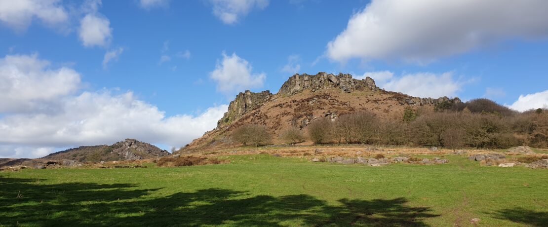
Stretching from the moorland tops of the South Pennines to the gentle limestone scenery of the Derbyshire Dales, the route embraces the urban edges of Sheffield and Oldham, as well as Staffordshire’s rugged moorland and the undulating slopes of Cheshire. It celebrates the stunning landscapes and different terrains that the Peak District is known for – including dramatic crags, cloughs and open moorland to quiet woodlands, pastures and hidden dales.
Long distance, seasoned hikers may enjoy the challenge of walking all 190 miles in one go, but the route has been split into twenty different stages which are more accessible to walkers who prefer to explore the National Park in stages.
About the app
The Peak District Boundary Walk app provides an interactive map to help people navigate their way along the route. It also offers people information about each stage of the walk including:
- the distance of each stage in kilometres and miles
- ascent in metres
- grid reference for the starting point of the stage
- step by step guidance notes for the route
Once a stage is completed, walkers can use the app to tick off the route and track their progress.
CPRE Peak District and South Yorkshire hopes the app will help to raise awareness of the Peak District National Park’s outstanding natural beauty and lesser-known areas, whilst inspiring people to cherish and protect the much-loved landscapes which it has safeguarded for the last one hundred years.
Tomo Thompson, CPRE PDSY CEO, tell us more: “The Peak District Boundary Walk is a great way to explore different areas of the National Park. But what makes this walk truly special is its historical significance. We’re honoured that Doug has generously donated his skills and time to build the app, so that even more people can enjoy exploring the Peak District.”
The Peak District Boundary Walk app is available to download for free on both iOS and Android devices.


